Calling All First Responders
Powered by your community

Get the apps. Save a life.
![]()
DESIGNED TO PUT AEDS IN MOTION
Help build the most comprehensive registry of AEDs for use during emergencies.
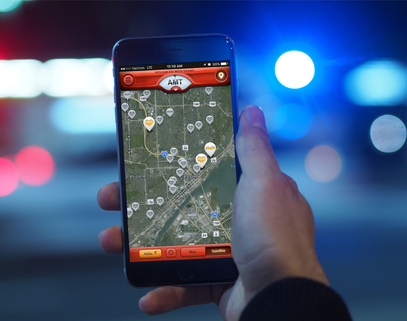
When a cardiac emergency strikes, finding an Automated External Defibrillator (AED) can help save a life. But that takes knowing where AEDs are located. PulsePoint AED lets you report and update AED locations so that emergency responders, including nearby citizens trained in CPR and off-duty professionals such as firefighters, police officers and nurses, can find an AED close to them when a cardiac emergency occurs.
With PulsePoint AED you can help strengthen the chain of survival for cardiac arrest victims. Simply click on the map below and show us the location of your AED. Or, download the PulsePoint AED for free and use it to report AEDs in your community. Describe the location, snap a picture, and the information is stored for local authorities to verify. After that, the AED location data is made available to anyone using PulsePoint Respond (also available for free in the App Store). PulsePoint Respond is the app that alerts citizen responders who know CPR to local emergencies near them and also to the location of the nearest AED.


Register an AED
Locate an AED
![]()
ENABLING CITIZEN SUPERHEROES
WHOSE LIFE WILL YOU SAVE TODAY?
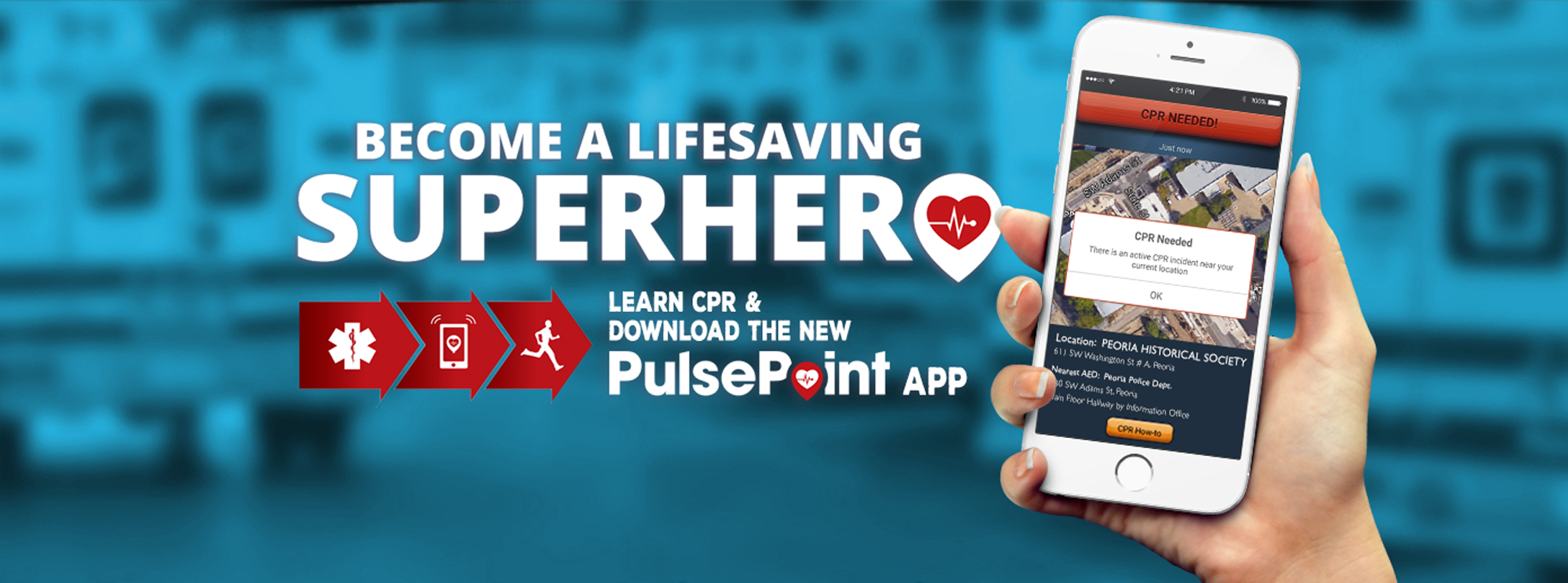
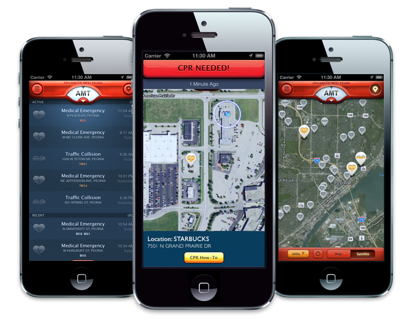
PulsePoint empowers individuals, within covered communities, with the ability to provide life-saving assistance to victims of cardiac arrest. Application users who have indicated they are trained in cardiopulmonary resuscitation (CPR) are notified if someone nearby is having a cardiac emergency and may require CPR. If the medical emergency is in a public place, the application uses sophisticated location-based services to alert trained citizens in the immediate vicinity of the need for CPR. The application also directs these citizen rescuers to the exact location of the closest public access Automated External Defibrillator (AED).
PulsePoint currently provides coverage for hundreds of cities and communities, with many more on the way.
The PulsePoint app is a virtual window into these 911 communication centers and provides real-time access to emergency activity as it is occurring. Users can view incidents - including the current response status of dispatched units - and instantly pinpoint the location on an interactive map. Curious as to where that fire engine or ambulance that just passed is headed? Is there an accident up ahead causing this traffic tie-up? Just tap the application to quickly find the incident location or plan an alternate route.
Additionally, users can choose to receive incident notifications when they are dispatched and listen in on live emergency radio traffic via this modern version of the traditional fire scanner. A photo gallery of significant events along with other agency images and information can also be easily accessed.


Learn how to use the app.
A simple step by step guide in setting up your new app.


